Welcome
Master in Remote Sensing
Faculty of Geography
Universitas Gadjah Mada

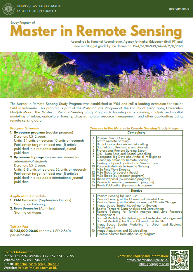
The Faculty of Geography, Universitas Gadjah Mada (UGM) invites you to join and become a student of the Master Program in Remote Sensing. In this study program you will enjoy a conducive academic atmosphere with students from various regions in Indonesia, and even from other countries, to learn remote sensing, geographic information systems, and other mapping technologies within the scope of spatial, ecological, and regional studies.
Profile Video
There are 2 study types offered, (1) M.Sc program by course, (2) M.Sc program by research. The M.Sc Program in Remote Sensing is the only program in Indonesia that was established in 1984. The M.Sc Program in Remote Sensing is accredited by National Accreditation Board for Higher Education (BAN-PT) with an Excellent rating (UNGGUL) with an accreditation period (10 – March – 2021 – until 10 – March – 2026) based on BAN-PT Decree No. 1394/SK/BAN PT/Akred/M/III/2021. Master of Science in Remote Sensing under the Faculty of Geography which is a leading institute for similar fields in Indonesia, with the support of qualified and experienced teaching staff from the Department of Geographic Information Science (SaIG) in their fields with a focus on remote sensing, GIS, and cartography, as well as support from other teaching staff in Faculty of Geography, all of which have an international reputation.
Studying remote sensing at UGM also means enjoying an international quality education, according to the university's ranking which is always in the top 400 in the world. After completing your studies in this study program, a Master of Science (M.Sc) degree guarantees that you master the theories, concepts, methods, and techniques of remote sensing and GIS to solve various problems in a spatial context.


